Geographic Information System
- Home
- Geographic Information System
business services
Get a Free Quote
contact-us@gcspvt.com
GEOGRAPHIC INFORMATION SYSTEM (GIS)
Welcome to our premier GIS services! As the leading experts in Geographic Information Systems, we are dedicated to harnessing the power of GIS for organizations across all sectors. Our team excels in every aspect of GIS, transforming raw spatial data into actionable insights that drive informed decision-making. From complex spatial analysis to customized mapping solutions, we deliver tailored results that empower your business. Discover how our expertise in GIS can become one of your greatest assets.
CUSTOM GIS SOLUTIONS
Tailored GIS systems built to meet the unique needs of clients across industries. From project planning to final implementation, our team provides scalable and adaptable GIS solutions.
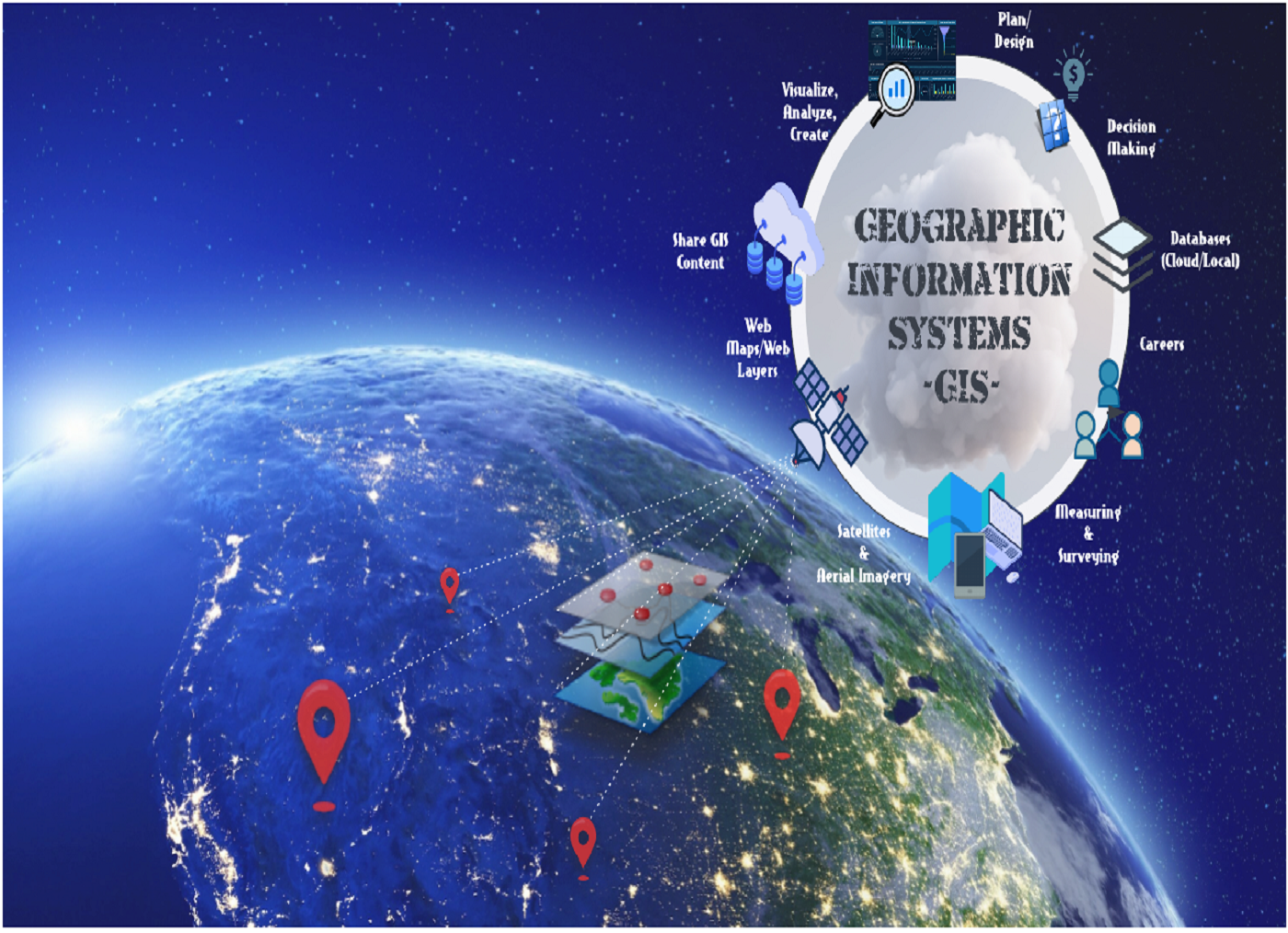
- Key Features: Custom-built to your specifications, adaptable to changing needs, full project lifecycle management.
- Benefits: Cost-effective, flexible, and scalable solutions tailored to industry-specific requirements.
- Use Cases: Urban planning, agriculture, utilities, transportation.
- Technologies Used: ArcGIS, QGIS, open-source GIS platforms, custom APIs.
- Industries: Local governments, real estate, logistics, environmental management.
Spatial Data Analytics & Visualization
Turn raw spatial data into actionable insights through advanced geospatial analytics. We provide interactive maps and 3D models to help organizations make data-driven decisions.
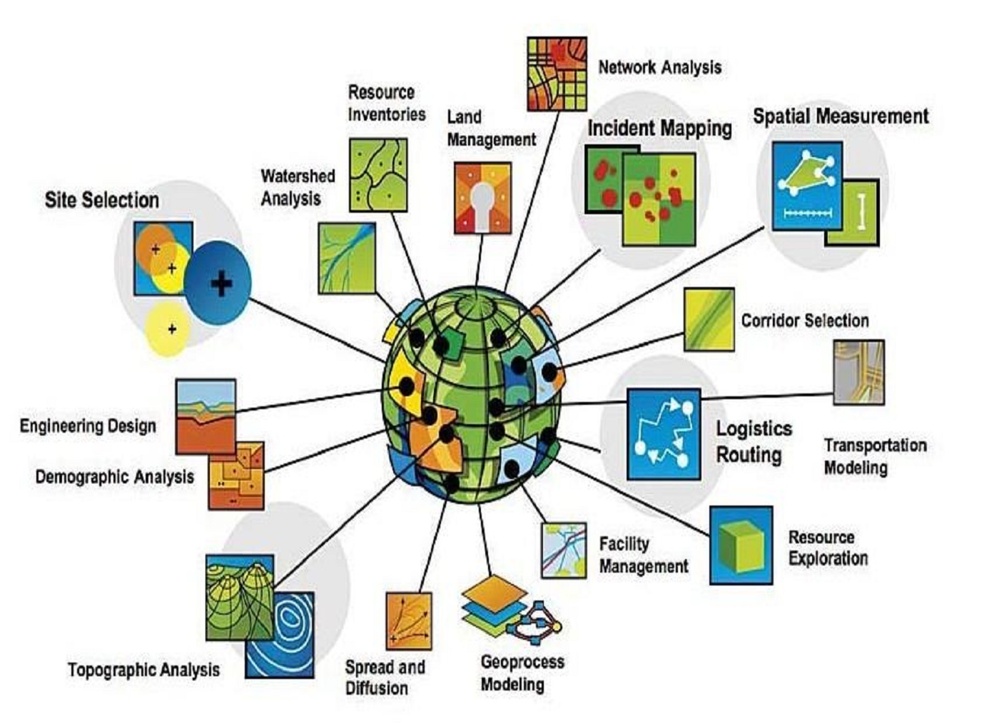
- Key Features: Interactive dashboards, 3D models, heat maps, spatial pattern analysis.
- Benefits: Improved decision-making, enhanced data visualization, and real-time analytics.
- Use Cases: Resource allocation, market segmentation, risk assessment, spatial pattern detection.
- Technologies Used: Machine learning algorithms for spatial analytics, geostatistics, advanced mapping tools.
- Industries: Retail, finance, agriculture, public health, transportation.
Geospatial Data Integration
Seamlessly integrate GIS with existing business systems, databases, and IoT for enhanced location-based intelligence. We specialize in merging complex datasets to provide holistic spatial analysis.
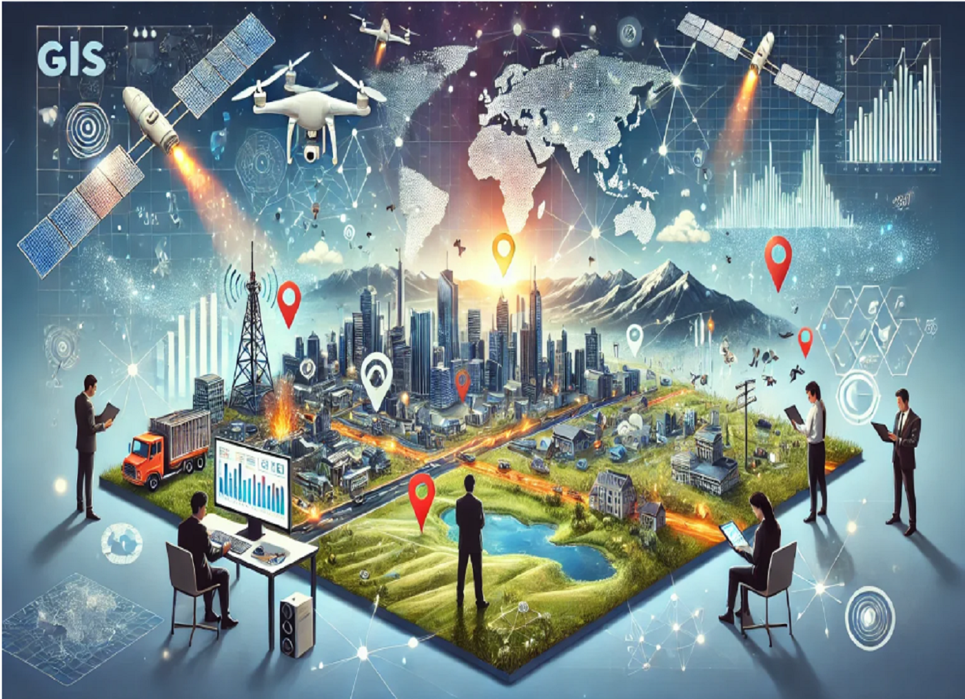
- Key Features: Integration with ERPs, CRMs, IoT platforms, data fusion from multiple sources.
- Benefits: Streamlined data access, enhanced operational efficiency, holistic spatial insights.
- Use Cases: Smart cities, utility monitoring, supply chain management.
- Technologies Used: API integrations, data lakes, enterprise GIS, real-time data syncing.
- Industries: Telecommunications, utilities, manufacturing, smart cities, energy.
Remote Sensing & Image Analysis
Expert analysis of satellite, aerial, and drone imagery to monitor environmental changes, urban growth, land use, and resource management.
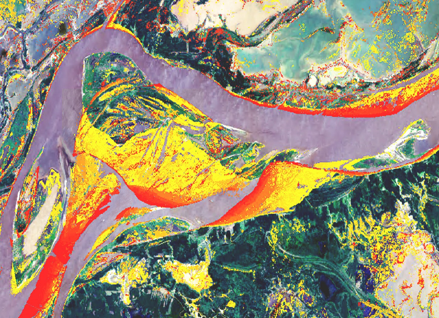
- Key Features: High-resolution imagery, multi-spectral and thermal imaging, automated image classification.
- Benefits: Real-time monitoring, precise land use classification, predictive environmental modeling.
- Use Cases: Deforestation monitoring, urban growth analysis, crop health monitoring, disaster response.
- Technologies Used: Satellite imagery (Sentinel, Landsat), LiDAR, drone data, machine learning for image processing.
- Industries: Agriculture, forestry, urban planning, disaster management.
Web GIS Development
Create custom, scalable Web GIS applications that enable real-time geospatial data sharing and collaboration. Perfect for businesses looking to streamline field operations, asset management, and more.

- Key Features: Cloud-based platforms, real-time data sharing, interactive mapping, user-friendly interfaces.
- Benefits: Enhanced collaboration, real-time decision-making, increased accessibility for distributed teams.
- Use Cases: Field service management, infrastructure monitoring, public engagement platforms.
- Technologies Used: ArcGIS Online, Mapbox, Leaflet, cloud platforms (AWS, Azure).
- Industries: Public services, utilities, logistics, environmental agencies.
3D GIS & Digital Twin Creation
Build immersive 3D GIS models and digital twins of cities, infrastructure, and landscapes for enhanced visualization, simulation, and planning.

- Key Features: 3D visualizations, virtual simulations, integration with real-time sensor data.
- Benefits: Improved planning and risk assessment, real-time monitoring, predictive analytics.
- Use Cases: Smart cities, infrastructure development, energy management, urban planning.
- Technologies Used: Digital twin platforms, 3D scanning, LiDAR, VR/AR integration.
- Industries: Real estate, construction, urban planning, energy, transportation.
GIS Consulting Services
Strategic consulting for businesses looking to harness the full potential of GIS. We provide in-depth analysis, workflow optimization, and training for all GIS-related needs.
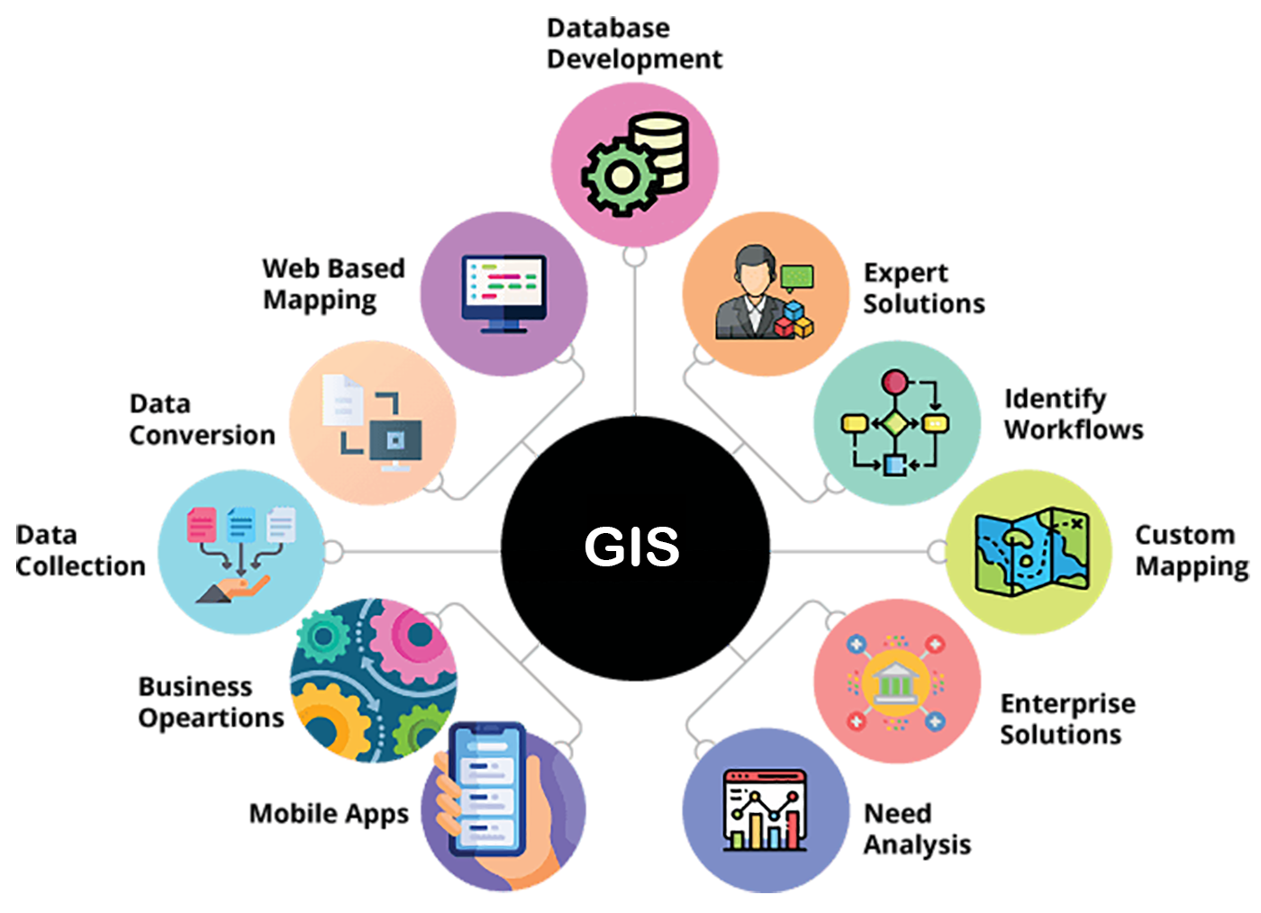
- Key Features: GIS strategy development, workflow analysis, system architecture design, training and support.
- Benefits: Improved operational efficiency, better decision-making, scalable GIS solutions.
- Use Cases: GIS implementation, system optimization, workforce training.
- Technologies Used: GIS project management tools, cloud-based GIS, API integrations.
- Industries: Public sector, infrastructure, energy, utilities, real estate.
Location Intelligence Solutions
Leverage GIS for retail site selection, logistics optimization, and customer segmentation using advanced geospatial analysis techniques.

- Key Features: Geodemographic analysis, trade area mapping, route optimization, heat maps.
- Benefits: Improved market targeting, optimized logistics, better resource allocation.
- Use Cases: Retail expansion, logistics routing, sales territory mapping, marketing campaigns.
- Technologies Used: Location analytics platforms, GPS tracking, AI for predictive modeling.
- Industries: Retail, real estate, logistics, marketing.
Geospatial Data Management & Cloud Solutions
Efficient storage, access, and management of geospatial data on secure cloud platforms. We handle large-scale geospatial data processing and ensure compliance with data governance standards.
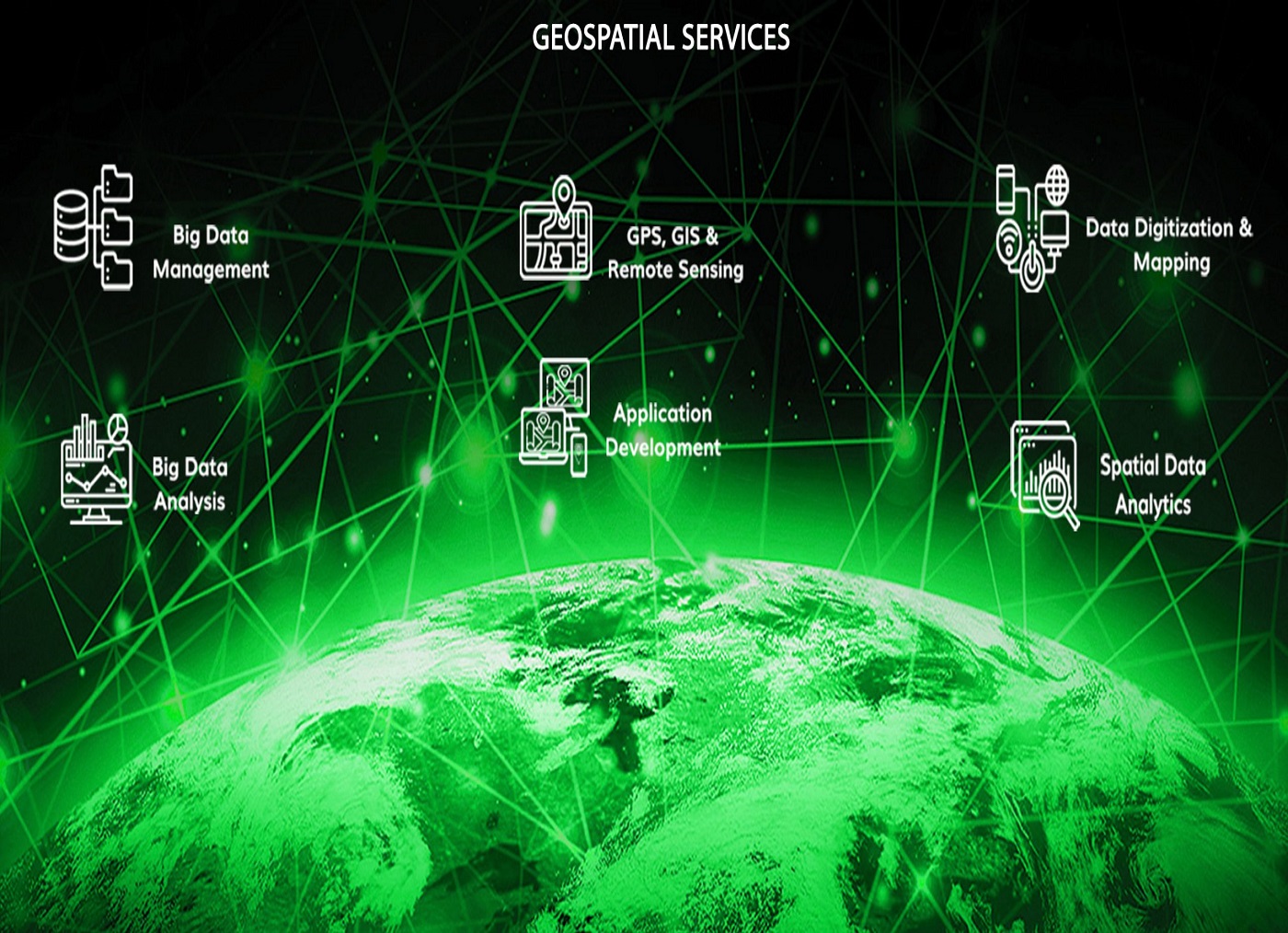
- Key Features: Cloud storage, data governance, real-time access, large-scale data processing.
- Benefits: Secure, scalable data management, improved data accessibility, cost-effective solutions.
- Use Cases: Centralized geospatial databases, real-time data collaboration, multi-user access.
- Technologies Used: Cloud platforms (AWS, Azure, Google Cloud), database management systems, data encryption.
- Industries: Utilities, environmental management, transportation, government agencies.
Environmental Impact Analysis
GIS-powered environmental assessments to measure land use, water resources, climate change, and sustainability metrics. Ideal for companies in the natural resources and energy sectors.
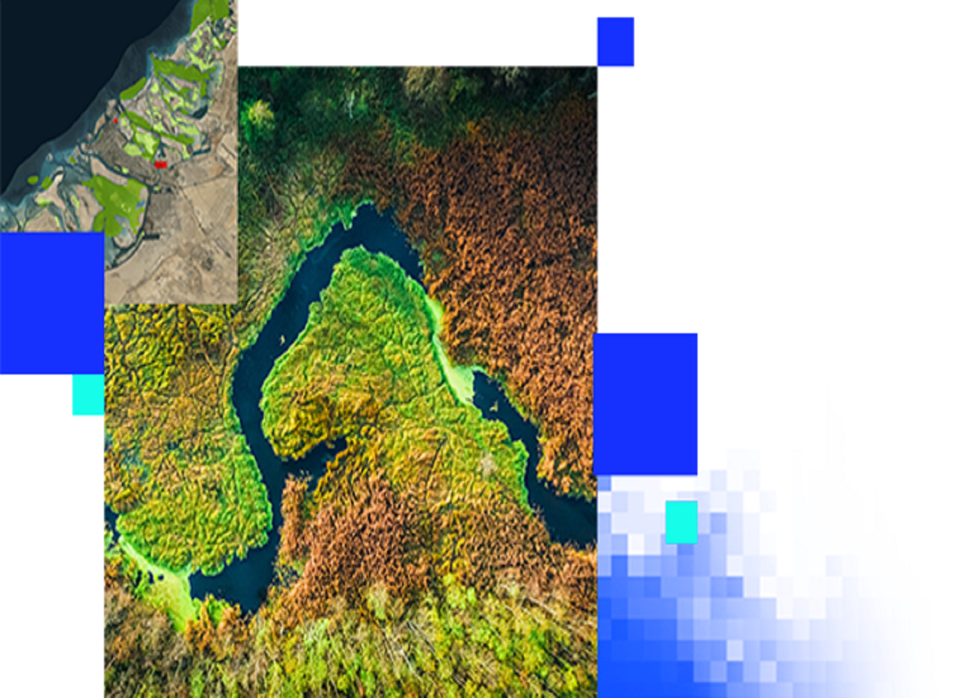
- Key Features: Environmental monitoring, land use change analysis, sustainability metrics, impact modeling.
- Benefits: Better compliance with environmental regulations, proactive risk management, improved sustainability practices.
- Use Cases: Environmental assessments, resource management, climate change impact studies.
- Technologies Used: Remote sensing, GIS modeling tools, satellite data, predictive analysis software.
- Industries: Energy, mining, forestry, agriculture, environmental protection agencies.
Mobile GIS Solutions
Develop mobile GIS applications to enable field data collection, mapping, and asset tracking, improving on-site efficiency and data accuracy.
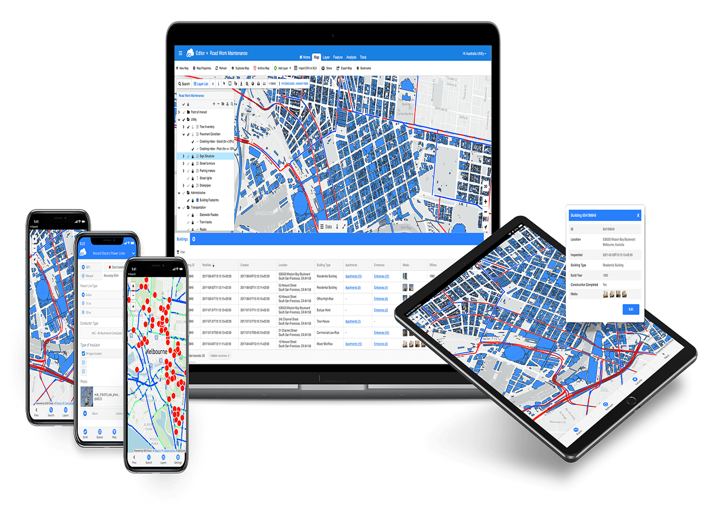
- Key Features: Offline data collection, GPS-enabled mobile devices, real-time synchronization.
- Benefits: Increased field data accuracy, real-time updates, improved workforce efficiency.
- Use Cases: Field inspections, asset tracking, environmental monitoring, utility maintenance.
- Technologies Used: Mobile GIS apps (Collector for ArcGIS, Survey123, QField), GPS devices, cloud sync.
- Industries: Utilities, field services, environmental management, construction, telecommunications.
